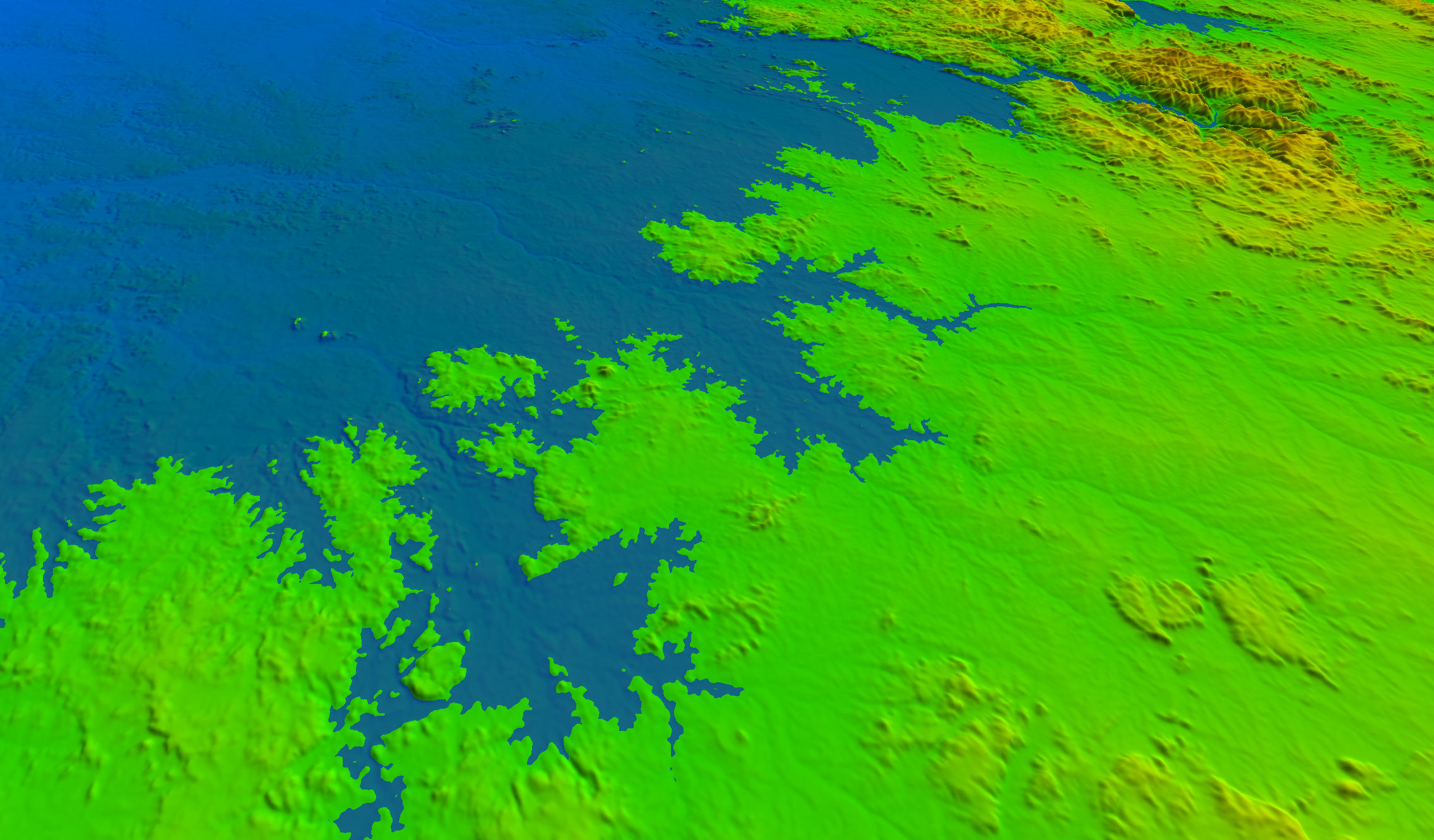
Topography plays a critical role in your farming operation. It will influence how your land will be segmented into paddocks, therefore dictating tillage patterns and defining irrigation and drainage requirements.
By using aerial imagery or ground data collected by your own tractors, Farm Doctors will create 3D topographic models of your land, providing you with the foundation for better farming decisions and improved yield.
Benefits
- Inspect the topography of your paddocks with updated terrain models (DSM and DTM)
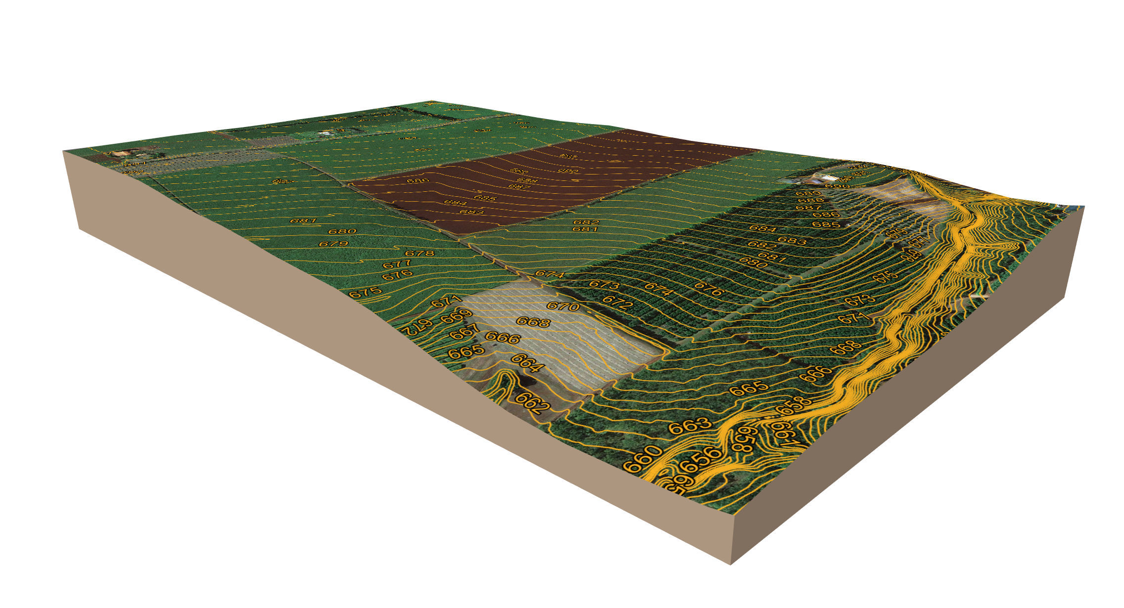
- Extract reference contour lines and use them for adaptive curve and AB line planning
- Optimise irrigation infrastructure
- Monitor erosion areas
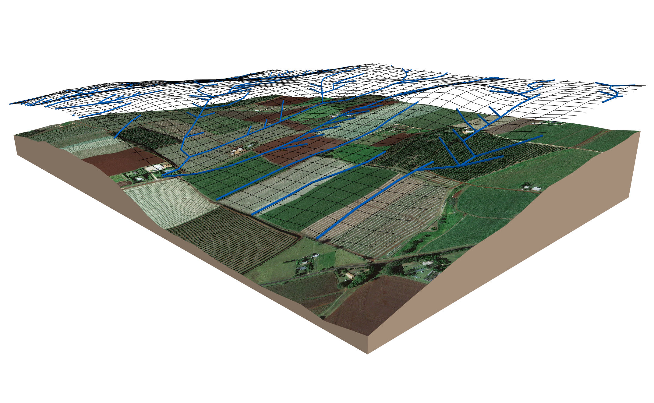
- Inspect paddock drainage efficiency by simulating the effects of continued rain and identifying potential waterlogging spots
- Volumes of stockpiles and pits can be easily calculated, regardless their size
- Data is collected with minimum disruption to your operation
- 3D topographic models are compatible with any GIS and CAD software, allowing levelling engineers, and other service providers, to integrate the data into their own systems

Waterlogging simulation

Contour lines


