Tag: Operation
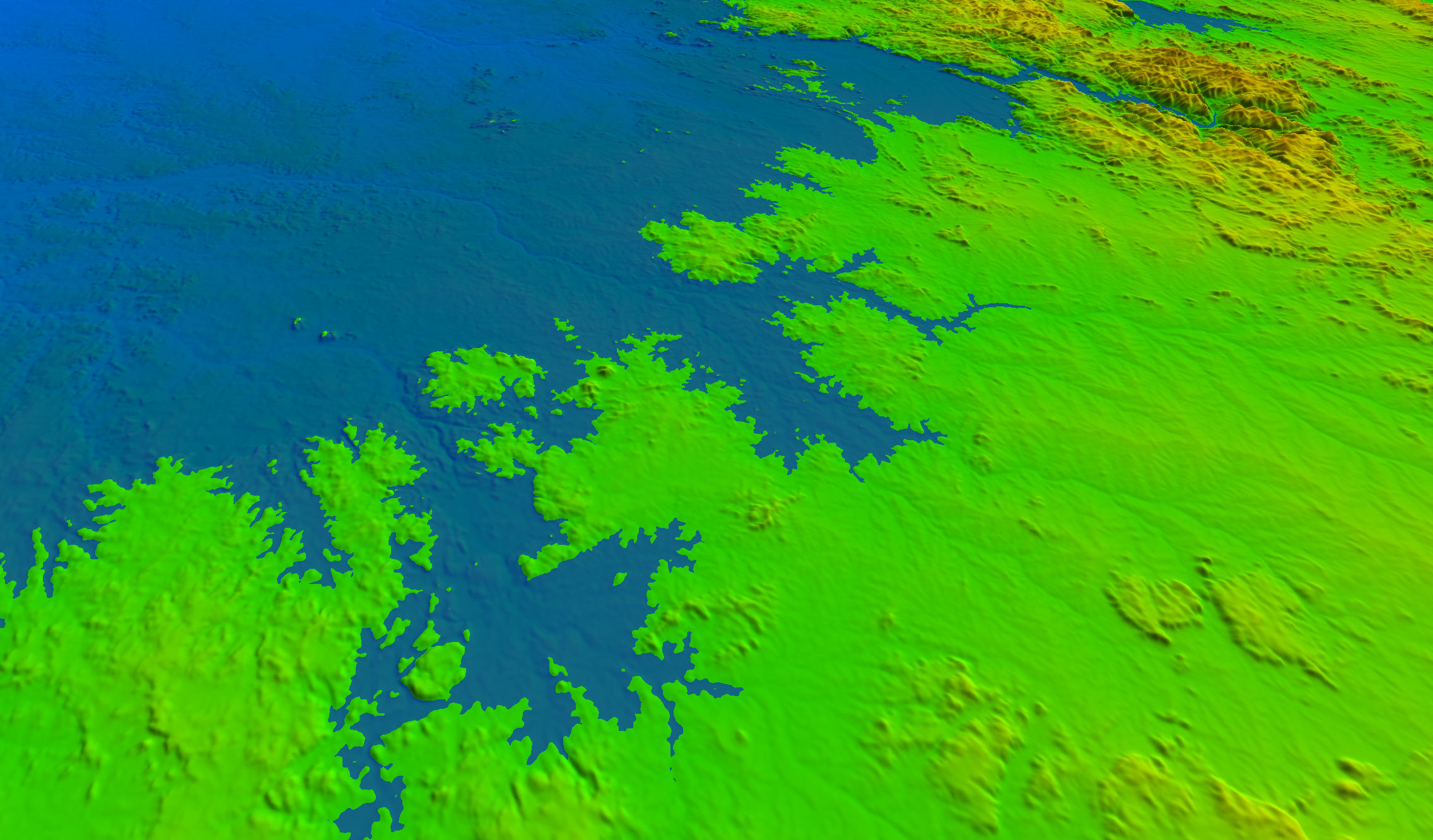
Topography
By using aerial imagery or ground data collected by your own tractors, Farm Doctors will create 3D topographic models of your land, providing you with the foundation for better farming decisions and improved yield.

By using aerial imagery or ground data collected by your own tractors, Farm Doctors will create 3D topographic models of your land, providing you with the foundation for better farming decisions and improved yield.